Google Earth maps
This 3D representation of the global distribution and characteristics of all 46 MRITs uses Google Earth satellite images.
The searchable file allows you to explore the high-level details of the region and their landscapes from various angles.
For local access to this data follow these instructions:
- Ensure you have google earth installed on your computer. You can download Google Earth here.
- Download our Mining_Regions_
In_Transition.kmz file located here. - Open the file (double click on it)
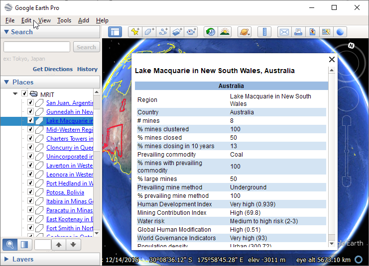
Using Google Earth to explore the regions
Double click on the name of any of the mining regions in the MyPlaces list at the left of the screen or on any of the mining regions in transition outlined in red on the globe.
The map will rotate and zoom to the region and a table of closure transition-related data about the region will display.
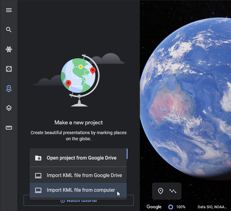
Using Google Earth online
If you prefer to view the data using Google Earth online rather than installing it:
- Download our Mining_Regions_In_Transition.kmz file.
- Go to https://www.google.com/earth/ and launch Google Earth.
- Click on Projects icon on the left side
- Open – Import Mining_Regions_In_Transition.kmz file from your computer.
- Double click on the name of any of the mining regions in the MRIT list at the left of the screen or on any of the mining regions in transition outlined in red on the globe.
The map will rotate and zoom to the region and a table of closure transition-related data about the region will display.